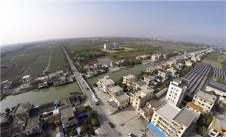
Wanqingsha Bonded Port Cluster
2025 - 11 - 14Wanqingsha Bonded Port Cluster covers 10 square kilometers, to its east is South Longxue waterway, to its south is Wanqingsha Shiyiyong, to its west is Lingxin Road and to its north is Wanqingsha Shibayong.
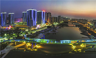
Jiaomen River Central Cluster
2025 - 11 - 14It has an area of 3 square kilometers. To its east is Jinlong Road, to its south is Shuangshan Avenue, to its west is Phoenix Avenue and to its north is Siyanjiao.
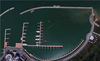
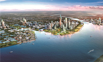
Nansha Bay Cluster
2025 - 11 - 14The cluster covers 5 square kilometers. To its east is Humen waterway, to its south is Jiaomen waterway, to its west is Huangshanlu, and to its north is Humen Bridge.
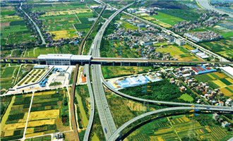
Nansha Hub Cluster
2025 - 11 - 14Nansha Hub Cluster has an area of 10 square kilometers. To its east is the Xuenan waterway, to its south is Shenmao Road, to its west is Lingxin Avenue and to its north is Sanzhen Avenue.
Pearl Bay Cluster
2025 - 11 - 14Pearl Bay Cluster covers 9 square kilometers. To its east is Huanshi Avenue, to its south is Hengli Road, to its west is Lingshan Island Lingxin Avenue and Hengli Island Phoenix Avenue, and to its north is Beijing-Zhuhai Expressway, excluding the water areas of Jiaomen River and the Hengli waterways.
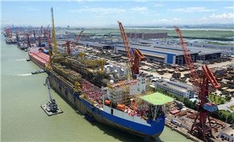
Port Cluster
2025 - 11 - 14Port Cluster covers an area of 15 square kilometers, including 13 sq km of Longxue Island Processing Area and 2 sq km of Shazai Island Processing Area.
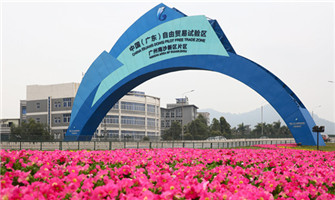
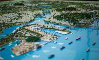
Overview
2025 - 11 - 14Covering a total area of 60 square kilometers (including the 7.06-square-kilometer Nansha Bonded Port Area), the China (Guangdong) Pilot Free Trade Zone Nansha Area of Guangzhou (Nansha FTZ) is divided into seven functional zones.


All rights reserved. Presented by China Daily