Marine environmental assessment of Nansha cross-river tunnel starts
The Nansha Pearl Bay Area Cross-river Tunnel Project (Huigu-Zhujiang East) announced the launch of its second marine environmental assessment on May 20.

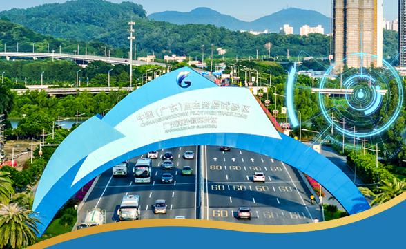
The aerial view of Pearl Bay Area Cross-river tunnel[Photo/gznsnews.com.cn]
The Pearl Bay Area Cross-river Channel starts from Huigu Ring Avenue in the north, and runs from north to south via Jiaomen Waterway, Lingshan Island Pointed Area (Putian Road), Upper Hengli (Shang Hengli) Waterway, Hengli Island Pointed Area (Xingcan Road), Lower Hengli (Xia Hengli) Waterway. It connects to the Zhujiang East (Baochengwei Road), completing a main line 5.67 kilometers long.
The land segment is about 3.91 km long and the water segment is about 1.77 km long. The tunnel will be connected in series with Huigu West, Lingshan Island Pointed Area, Hengli Island Pointed Area and Zhujiang East. It will provide efficient transportation links for Huigu West, Lingshan Island Pointed Area and Hengli Island Pointed Area by setting up entrance ramp.
The project-related sea section is the Jiaomen Waterway and the Lower Hengli Waterway. The project comes within 5 km of the upper and lower reaches of the tunnel crossing section of the Jiaomen Waterway and the Lower Hengli Waterway, and the public is being asked for their opinions of how the construction may affect them.
People may fill out the public opinion form through the publicity website or provide feedback to the construction unit by email, telephone or letter within ten days.
The Pearl Bay Area Cross-river Tunnel Project will not only break the natural barrier between the Jiaomen Waterway and the upper and lower Hengli Waterways but also strengthen the convenient transportation links between the Jiaomen River, Huigu West, Lingshan Island Pointed Area and Hengli Island Pointed Area and the connection with the external passages, and build the core service function of the Pearl Bay Area-Jianmen River.
The district will enhance the functional quality of the central business district of the Pearl Bay Area and meet the requirements of urban agglomeration development.
The main line of the Pearl River Tunnel is about 5.67 km long. There are seven pairs of entrance and exit ramps in the tunnel. The main road grade is the urban main road, with a design speed of 50km/h, and the design speed of the ramp is 30-40km/h; the design water level is 7.73m matching the 100-year water level.
Comprehensive analysis of environmental impact assessment shows that the construction technology of the submarine tunnel is a relatively advanced construction process.
Not only are the immersed pipes and transportation equipment in line with the actual needs of the project, they will also reduce pollution during the construction process.


All rights reserved. Presented by China Daily